
Northeast Florida Regional Council
Bringing consistency to regional resilience planning and flood risk communications to Florida’s First Coast.
Read the results
Entry-Floor Elevations
Every building is different. Climate Central’s Entry-Floor Elevations (EFE) data highlight where floodwater can reach on each individual building, for >99% of buildings in the lower 48.
Understand risk, cost, and resilience
Bringing consistency to regional resilience planning and flood risk communications to Florida’s First Coast.
Read the results

An evaluation of flood risk on the NJ coasts, backed by FloodVision® and EFE.
Read the analysis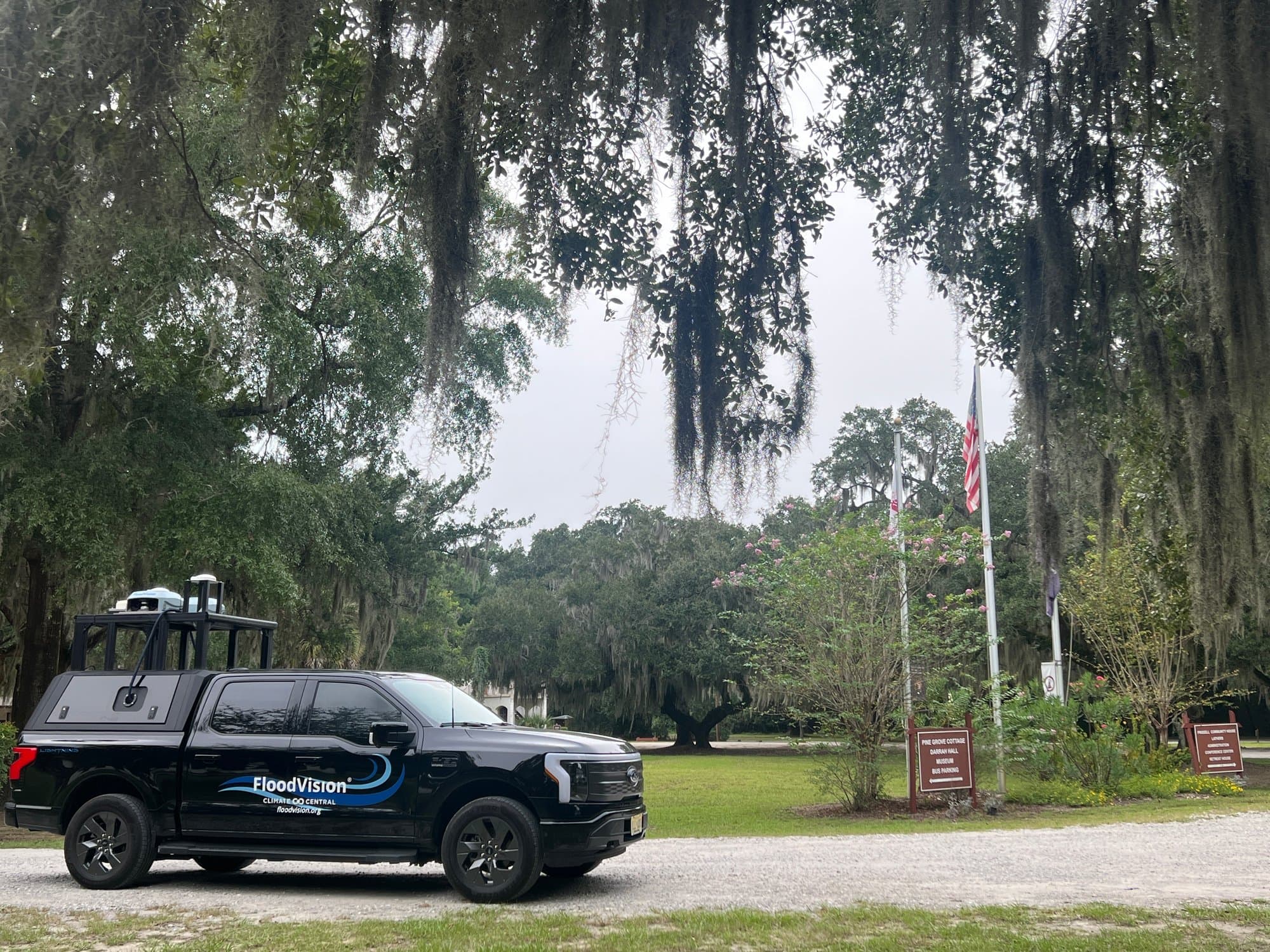
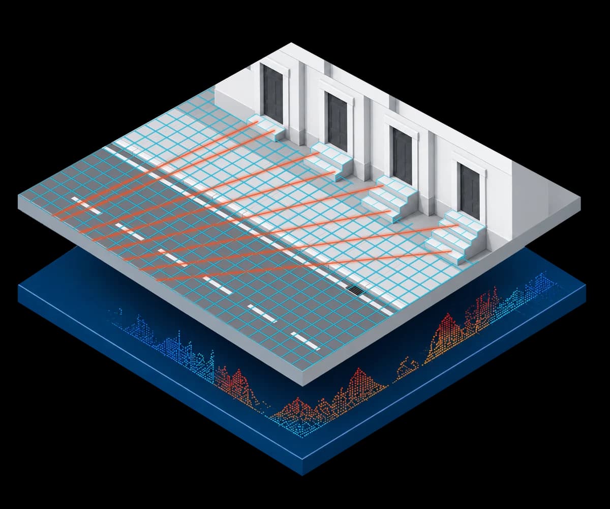
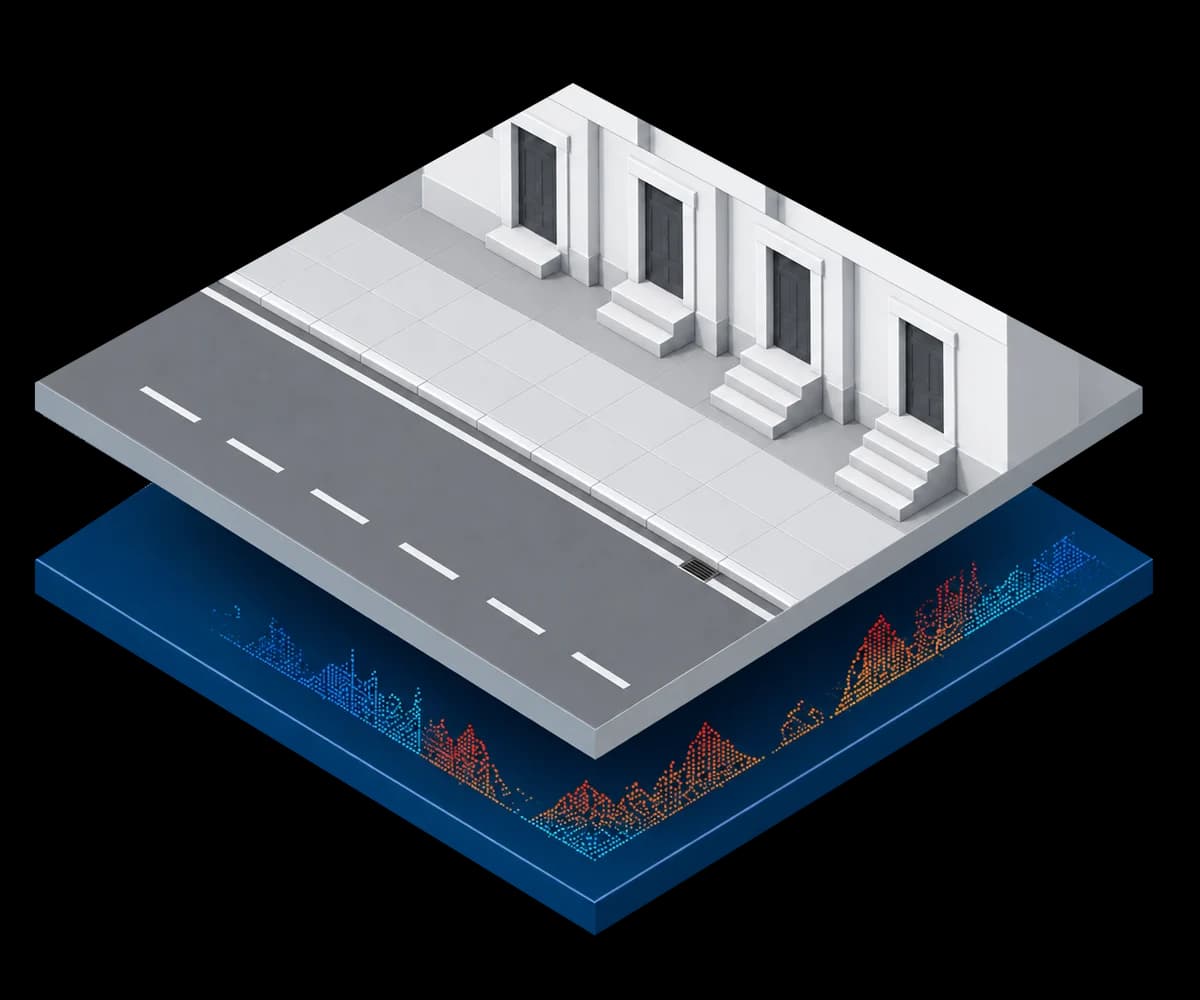
Climate Central’s FloodVision® street-level survey collects LiDAR, imagery and GPS observations to produce directly measured entry-floor elevations. We use those measurements as ground truth and train machine-learning models on building footprints, terrain, imagery-derived context and other geospatial inputs.
The result is EFE estimates at national scale, without a street-level survey of every building. Every time a FloodRover® goes out on the road, we produce new street-level surveys that validate and improve the models.
Related research and methodology
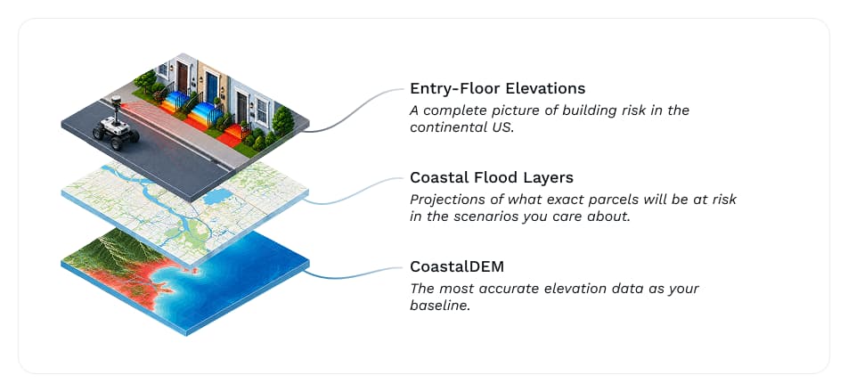
Paired with flood projections, EFE determines whether floodwater reaches a given building and how deep it gets inside. This is the step between a hazard map and a loss estimate.
Combined with Climate Central’s CoastalDEM® and Coastal Flood Layers, EFE resolves flood risk from the regional scenario down to the individual building.
We use our field-collected measurements as ground truth and train machine-learning models on building footprints, terrain, imagery-derived context and other geospatial inputs. Those models return EFE estimates at national scale without requiring a vehicle to drive past every building.
Climate Central deployments (through our pilot program, FloodVision) generated measured EFEs, LiDAR, imagery, GPS observations, and metadata that can validate and improve the modeled product.
Traditional flood data only tells you when a parcel is mapped inside a flood zone. It doesn’t tell you when the water reaches the first habitable floor. This distinction is essential to understand risk, protect lives, and make financial decisions with the most information possible. EFEs close the persistent national data gap at the level where decisions are made: the building.
Commercial product
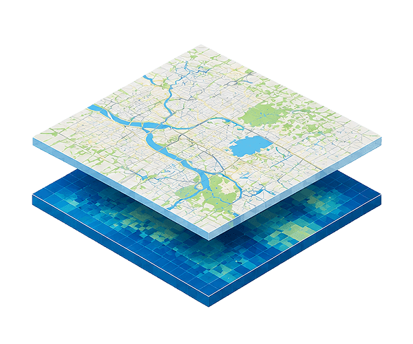
Our Coastal Flood Layers illustrate the extent and depth of present and future coastal floods.
Explore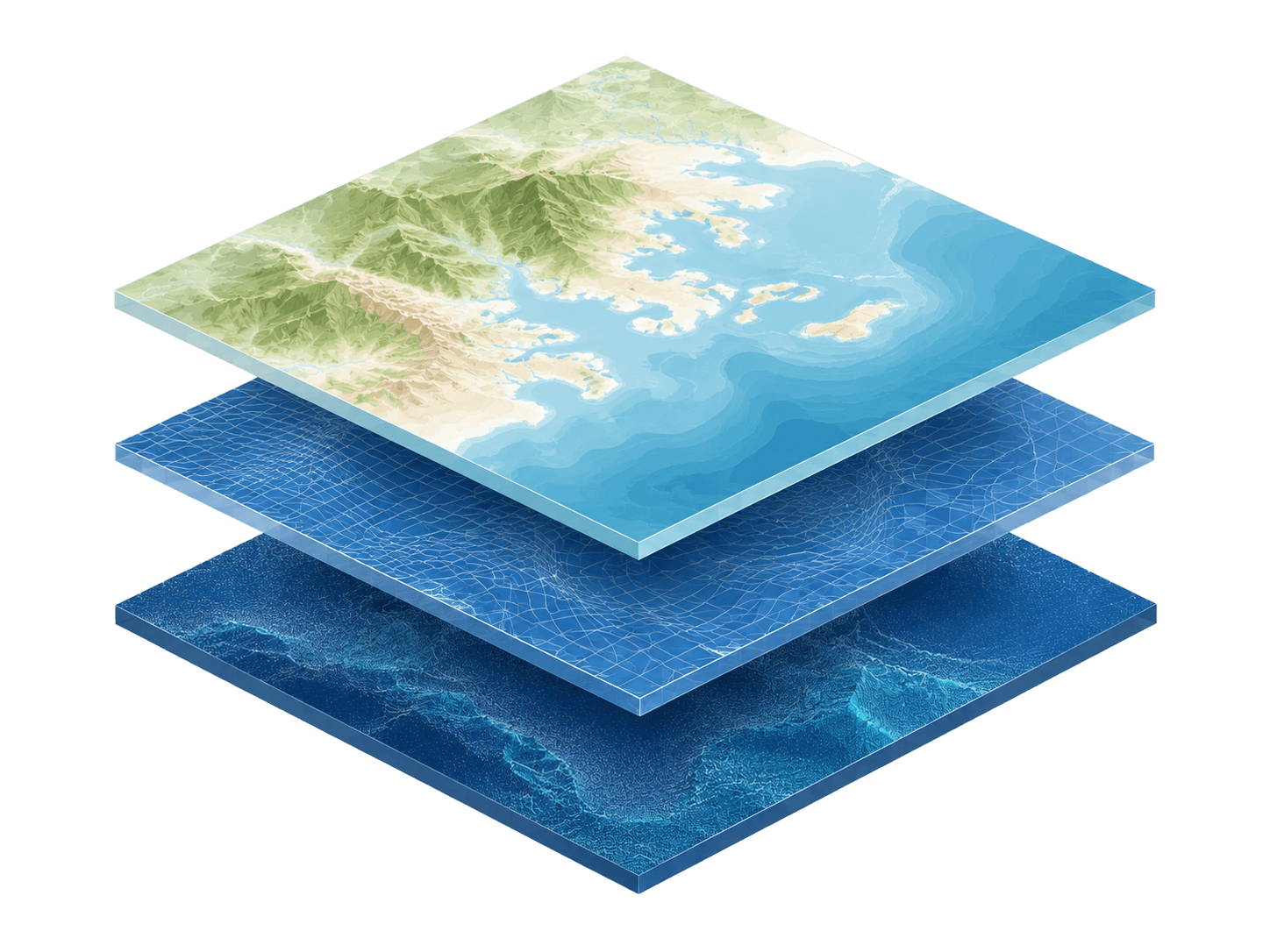
Commercial product
The most precise elevation modeling of the world’s coasts, available at high precision across the globe.
Explore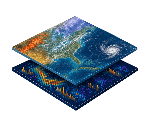
Commercial product
Understand the extent to which natural disasters have impacted the national and global economy.
Explore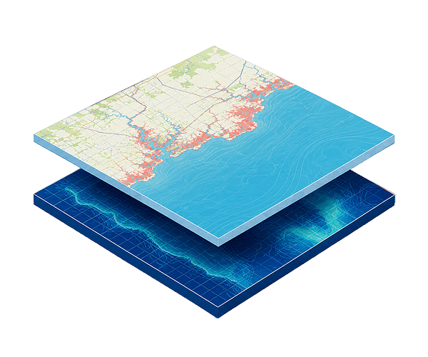
Made possible by donations
Analyze flooding in your area of interest in customizable scenarios through this free online tool. Backed by CoastalDEM® elevation data.
ExploreEntry-Floor Elevations
Our team can discuss coverage, delivery options, and licensing terms for Entry-Floor Elevations.
See the Terms of Use for Disclaimers of Warranties and Liability. The use of the materials or information on this page is at your own risk and is provided “AS IS”. Please be further advised that some of the information and data provided herein are derived from a model and a prediction based on estimates, that there are inherent risks in relying on models, and that future data collection and processing technologies may change results.

