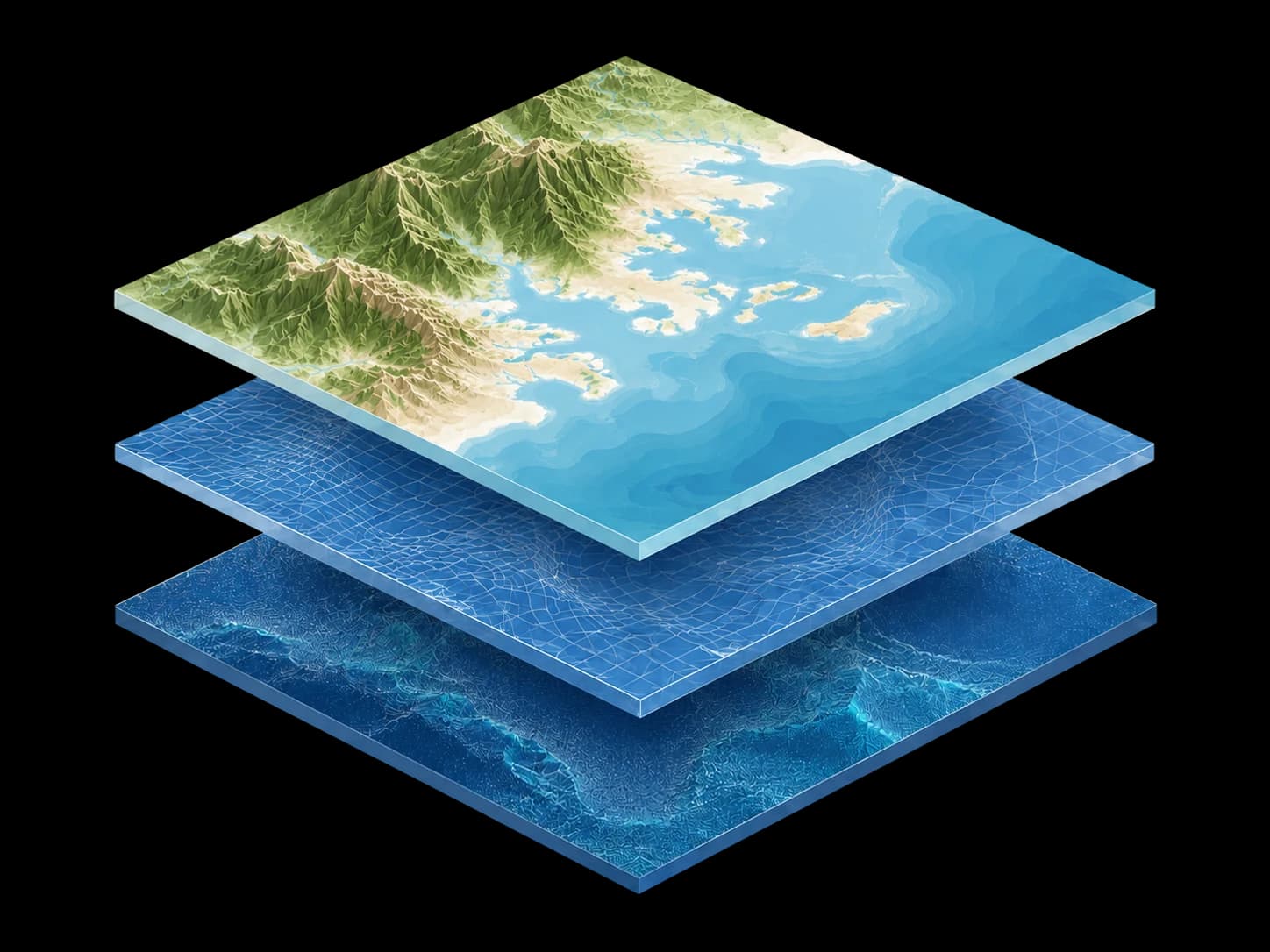
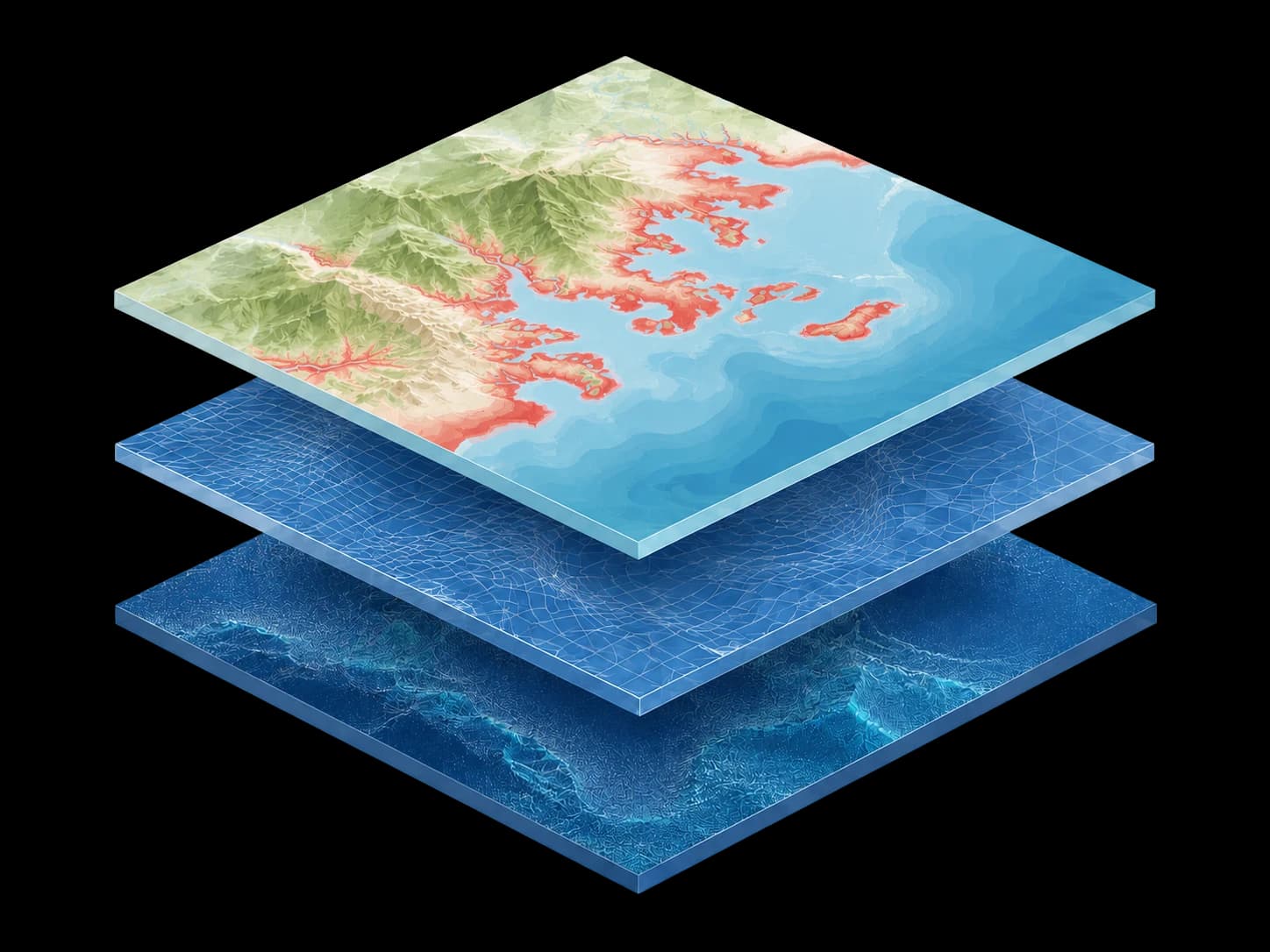
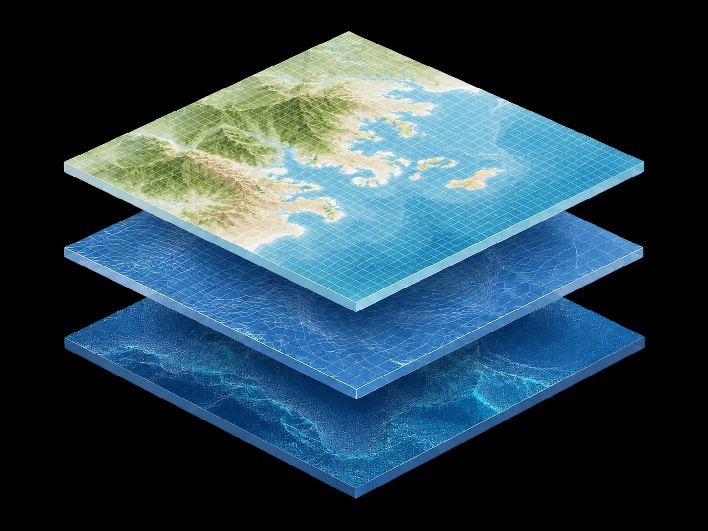

The New York Times, 2026
“Climate Central ... is among the 1% of models that got the methodology right.”
Read more
CoastalDEM®
Screen your portfolio for coastal flood exposure. CoastalDEM® v3.0 corrects the positive bias in satellite-derived terrain data that causes standard models to understate coastal risk.
Modeling, mapping, and measuring
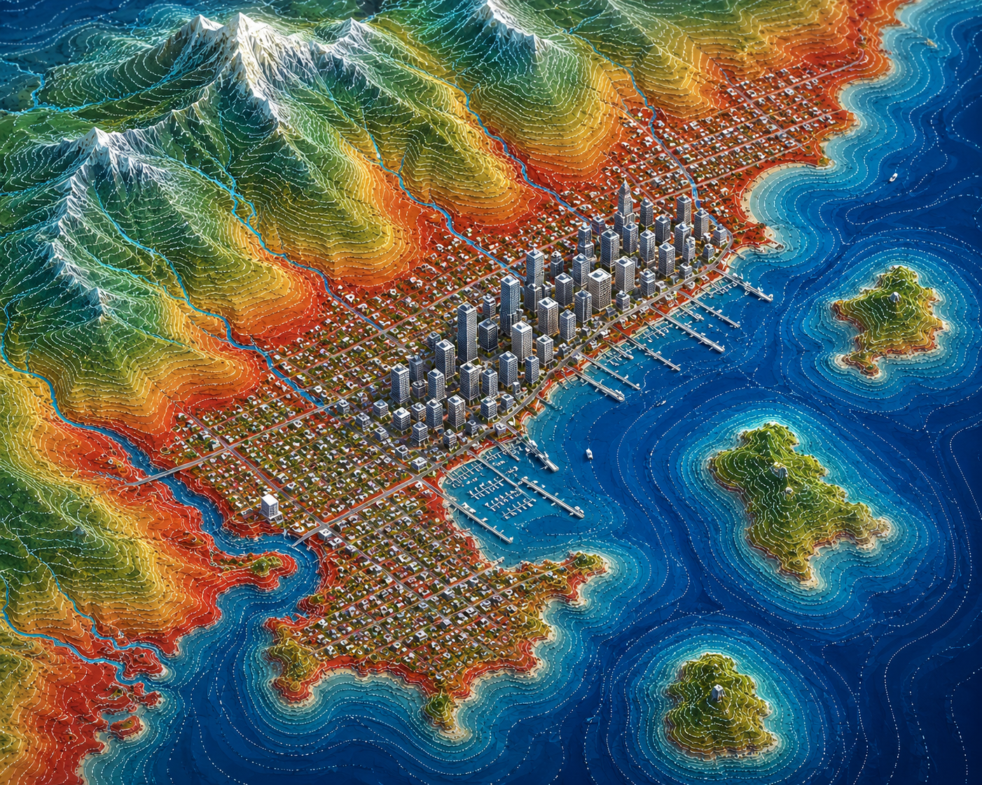
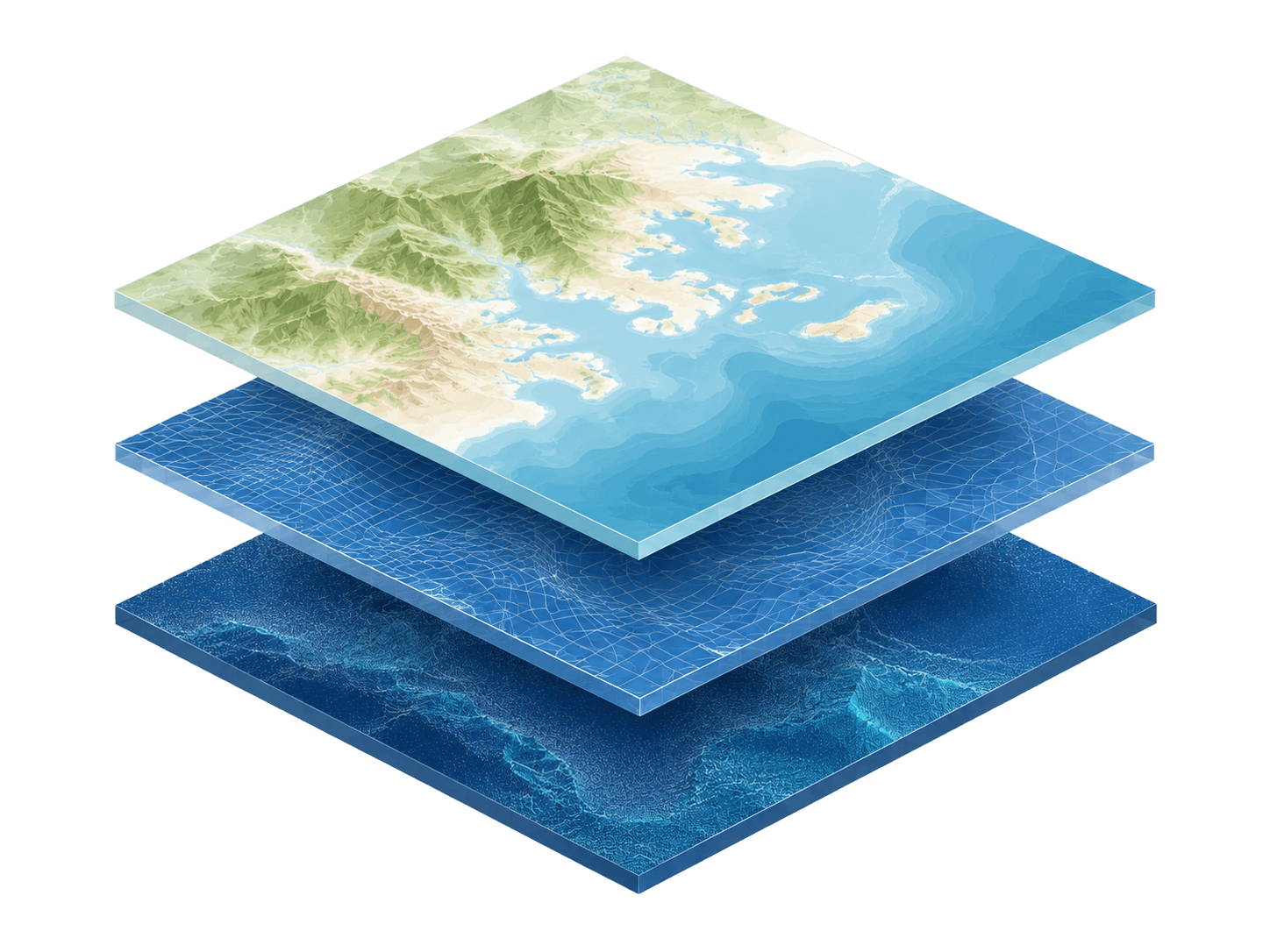
CoastalDEM® uses a fusion of multiple global DEM data sources in order to generate a dataset that counters more vertical errors than any other DEM on the market.
It is the first DEM of its kind to use an advanced neural network to correct elevation data issues on a global scale. CoastalDEM® shows the most precise elevation of all coastal areas around the world, up to 120 meters above high tide.
Independent, peer-reviewed research
Utilize CoastalDEM within your preferred 3D data system and run risk analysis for coasts around the globe. Simply import the data and see the impacts on your areas of interest, including specific parcels in your portfolio.
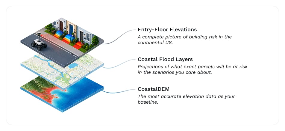
CoastalDEM is best paired with other Climate Central products, including our Coastal Flood Layers and EFE datasets. Used together, these products cover both inputs a flood loss estimate requires: the hazard and the vulnerability of the structure exposed to it.
Yes. Country licensing options are available, depending on what you need.
CoastalDEM covers land that is up to 120 meters beyond high tide.
Yes. CoastalDEM can be used alongside GIS and elevation-based data in your preferred systems.
Publicly available elevation datasets commonly use a single base elevation model. CoastalDEM fuses multiple global DEM sources and outperforms DiluviumDEM, FABDEM, COPDEM, and others in vertical accuracy against a global ground-truth dataset.
COMMERCIAL PRODUCT
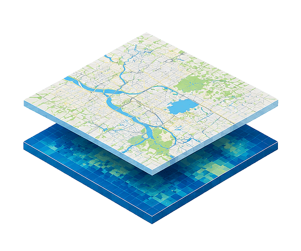
Our Coastal Flood Layers illustrate the extent and depth of present and future coastal floods. Pair with CoastalDEM® to get the most accurate analysis possible.
Explore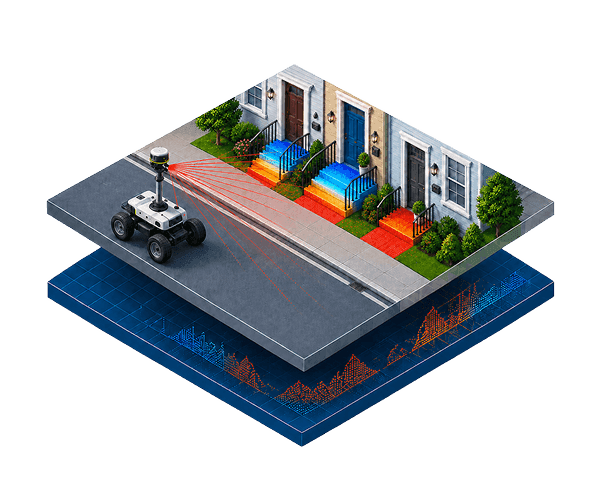
Commercial product
Get precise measurements of when floodwater will hit the important parts of a building. Understand how this impacts your portfolio by using alongside CoastalDEM.
Explore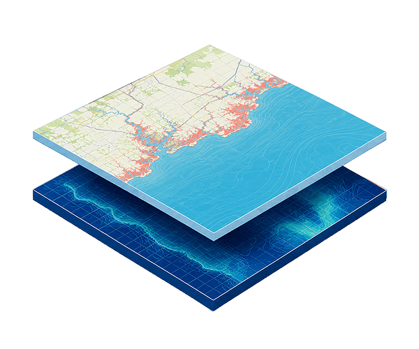
Made possible by donations
Analyze flooding in your area of interest in customizable scenarios through this free online tool. Backed by CoastalDEM elevation data.
Explore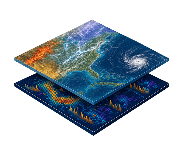
Commercial product
Understand the extent to which natural disasters have impacted the national and global economy.
ExploreCoastalDEM®
Our team can discuss coverage, delivery options, and licensing terms for CoastalDEM®.
See the Terms of Use for Disclaimers of Warranties and Liability. The use of the materials or information on this page is at your own risk and is provided “AS IS”. Please be further advised that some of the information and data provided herein are derived from a model and a prediction based on estimates, that there are inherent risks in relying on models, and that future data collection and processing technologies may change results.