Same location, different risks
Flood attributes on a loan or policy file describe the location, but buildings at one location sit at different heights and take different losses.

PORTFOLIO SCREENING
Portfolio screening covers millions of addresses at once. Climate Central supplies key inputs to run this at scale: entry-floor elevations, coastal flood exposure layers, and bare-earth elevation. Useful for portfolio and credit risk teams at insurers, lenders, and the GSEs.

Built for organizations that need reliable elevation and flood-risk data to make better decisions.
What goes into developing the most precise data available? Explore these reports to find out.

Commercial product
Measure exact flood entry points for structures of interest.
Explore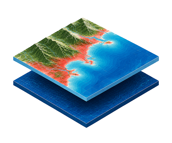
Commercial product
The best-available elevation modeling for the world’s coasts.
Explore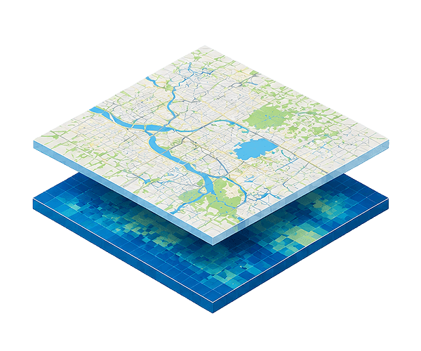
Commercial product
Customizable sea level rise and coastal flood layers based on scenarios you select.
Explore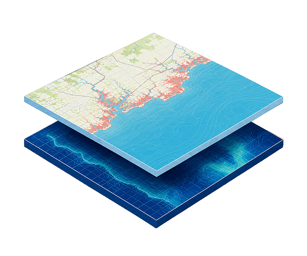
Made possible by donations
Analyze flooding in your area of interest in customizable scenarios through this free online tool. Backed by CoastalDEM elevation data.
Explore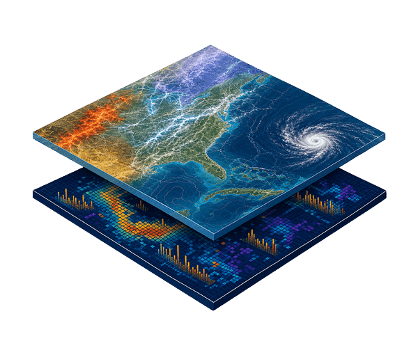
Commercial product
Find detailed insights into the costliest weather and climate disasters in the U.S. [since 1980].
Explore
Made possible by donations
Easily visualize how likely it is that global temperature changes are caused by climate change.
ExplorePORTFOLIO SCREENING
Our team can discuss coverage, delivery options, and licensing terms for Portfolio Screening groups.
See the Terms of Use for Disclaimers of Warranties and Liability. The use of the materials or information on this page is at your own risk and is provided “AS IS”. Please be further advised that some of the information and data provided herein are derived from a model and a prediction based on estimates, that there are inherent risks in relying on models, and that future data collection and processing technologies may change results.