High error margins
Planners build adaptation cases on freely available global terrain data. Vertical error in those surfaces often exceeds the sea level change the plan is designed around.

CAPITAL & INFRASTRUCTURE
Infrastructure built today must stand through decades of sea level rise. Climate Central supplies coastal ground elevation, flood exposure layers at chosen water levels, and the record of what past disasters have cost. Useful for utilities and port authorities, infrastructure investors, state and municipal governments, and engineering consultants.
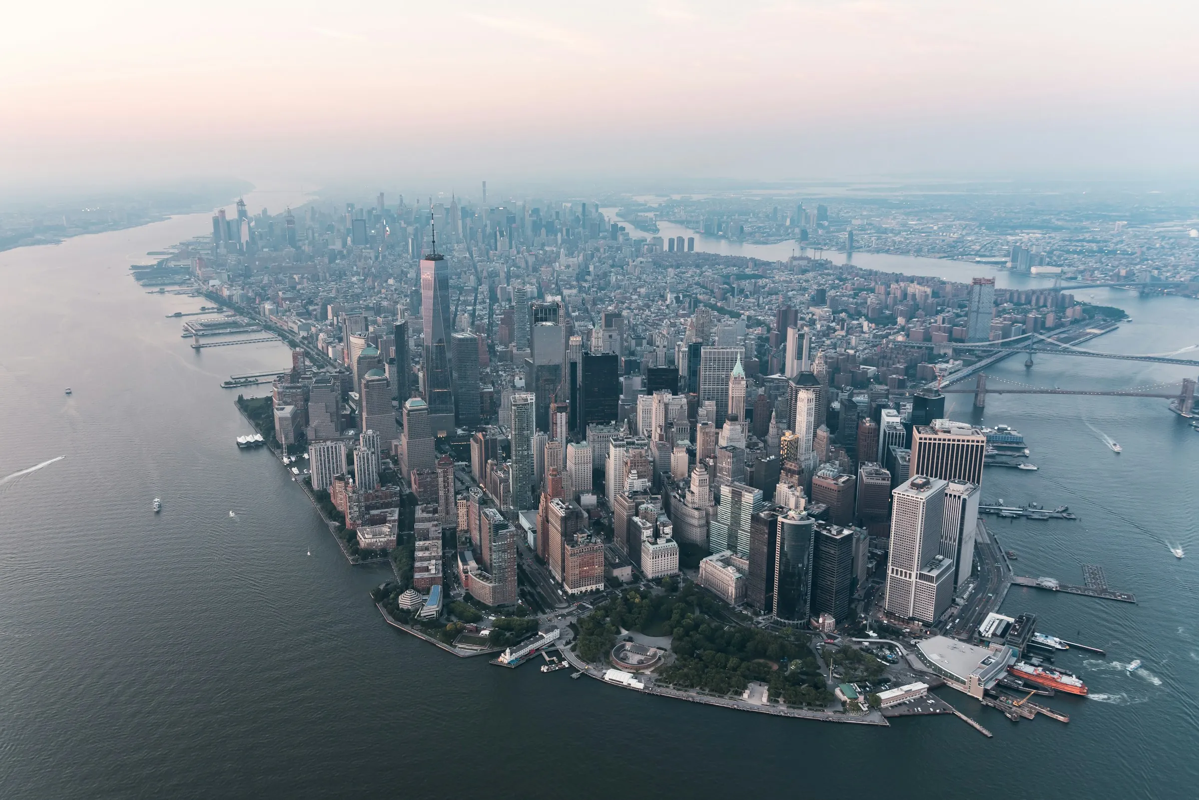
Today’s data falls short.
Built for planners, engineers, and public agencies making siting and protection decisions.
What goes into developing the most precise data available? Explore these reports to find out.
Commercial product
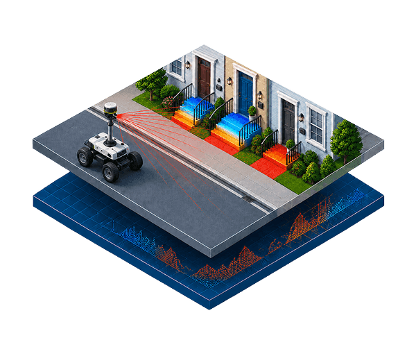
Precise measurements of when floodwater will hit the important parts of a building.
Explore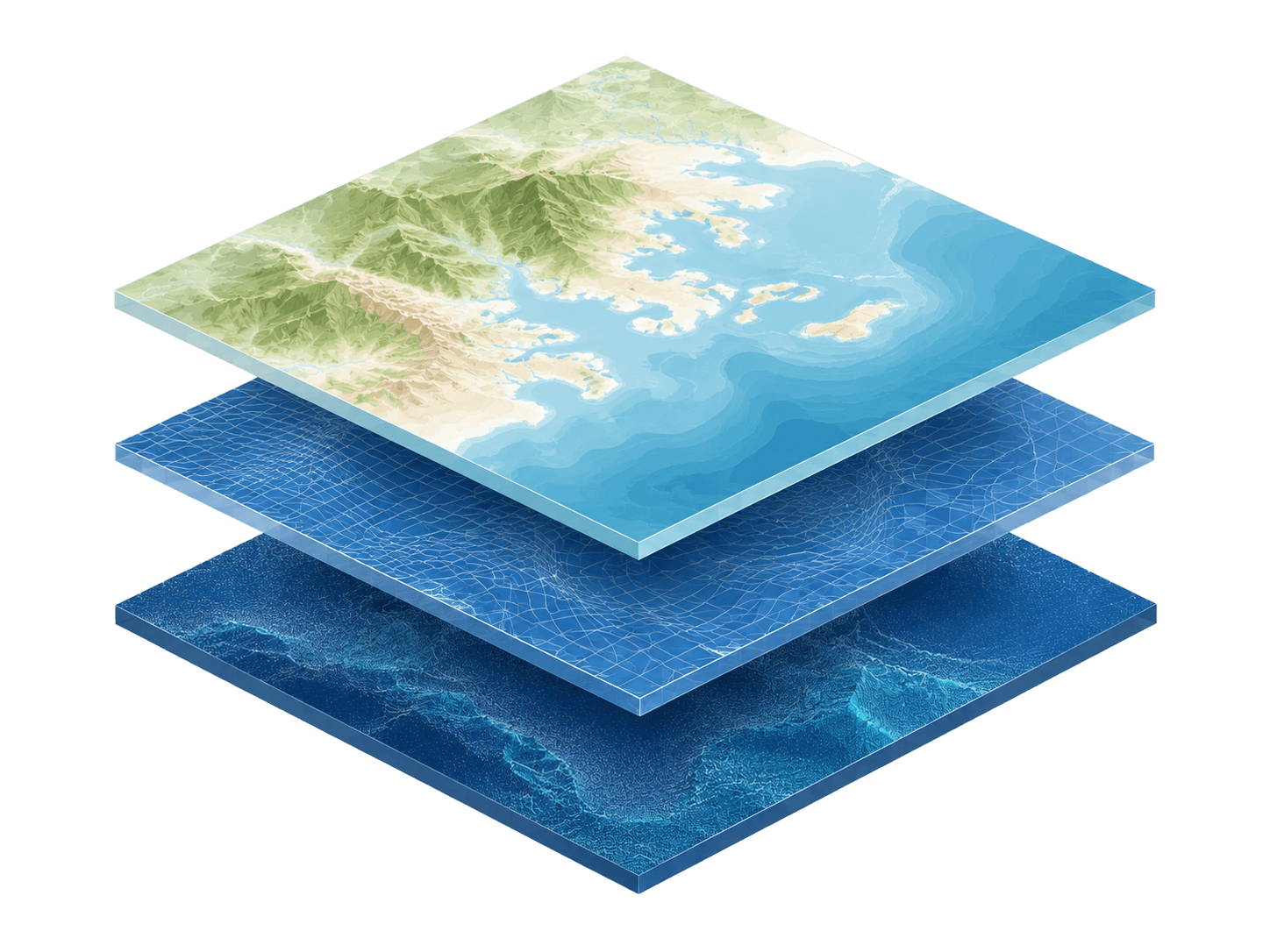
Commercial product
The most precise elevation modeling of the world’s coasts, available at high precision across the globe.
Explore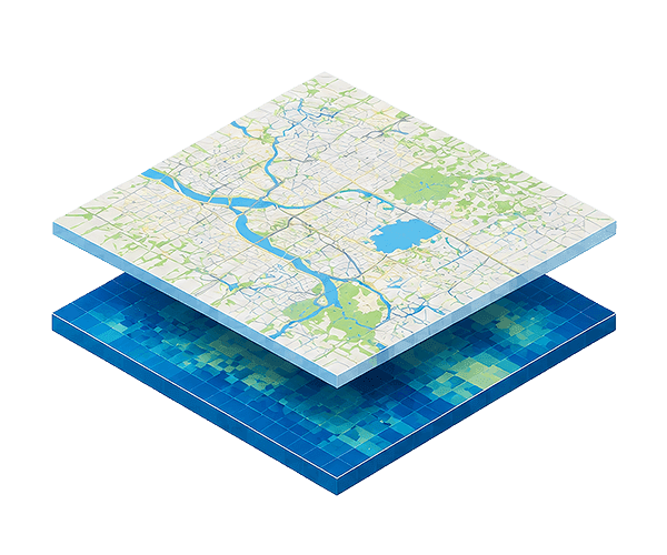
Commercial product
Customizable sea level rise and coastal flood layers based on scenarios you select.
Explore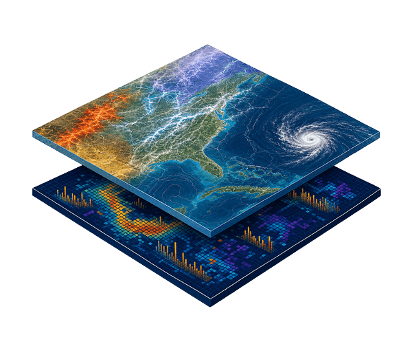
Commercial product
Find detailed insights into the costliest weather and climate disasters in the U.S.
ExploreCAPITAL & INFRASTRUCTURE
Our team can discuss coverage, delivery options, and licensing terms for Capital & Infrastructure groups.
See the Terms of Use for Disclaimers of Warranties and Liability. The use of the materials or information on this page is at your own risk and is provided “AS IS”. Please be further advised that some of the information and data provided herein are derived from a model and a prediction based on estimates, that there are inherent risks in relying on models, and that future data collection and processing technologies may change results.