
Nature, 2024
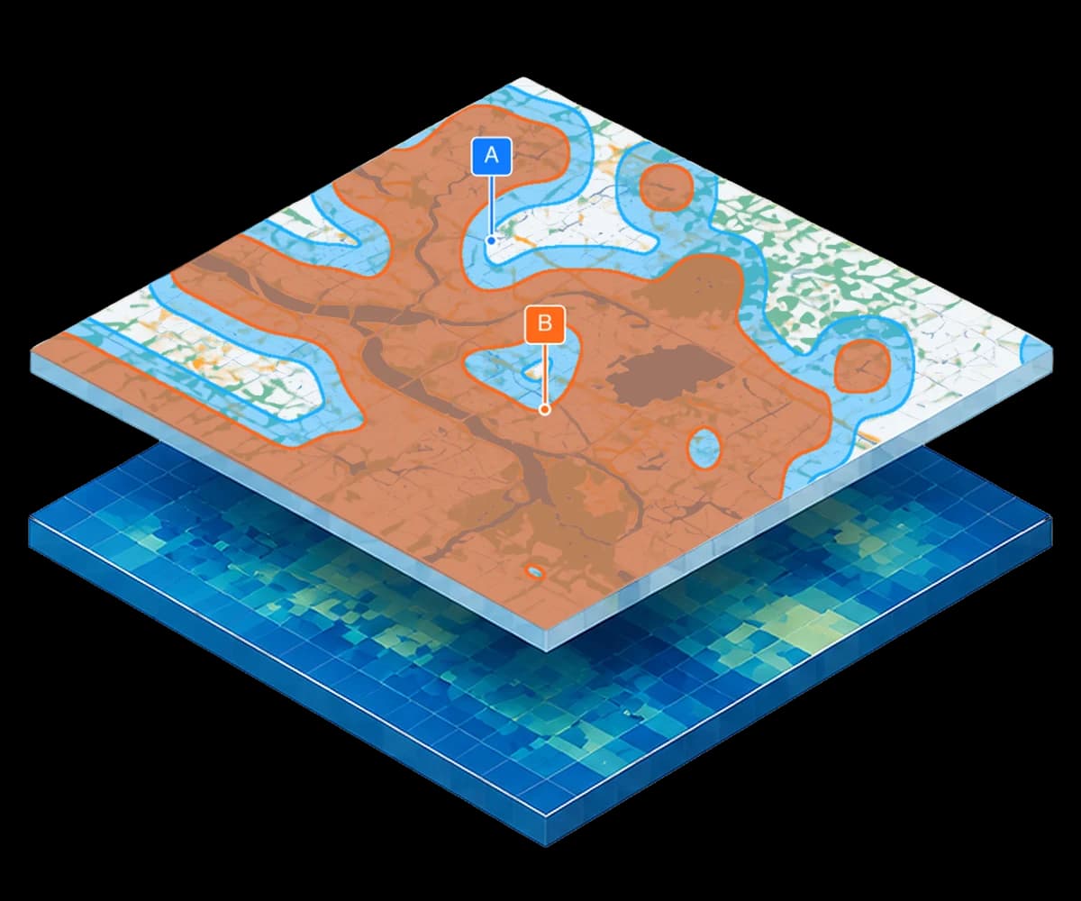
An analysis run on Climate Central’s layers to study plans for conserving the coast in UAE.
Read more
Coastal Flood Layers
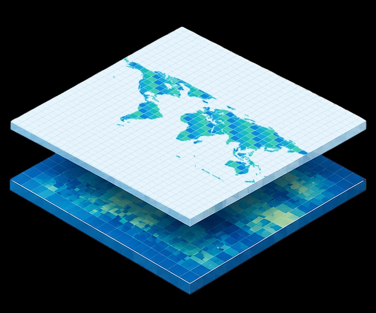
Layers are specified by emissions scenario, flood level, and climate sensitivity, with consistent coverage across global coastlines.
Risk analysis, understanding, and preparation
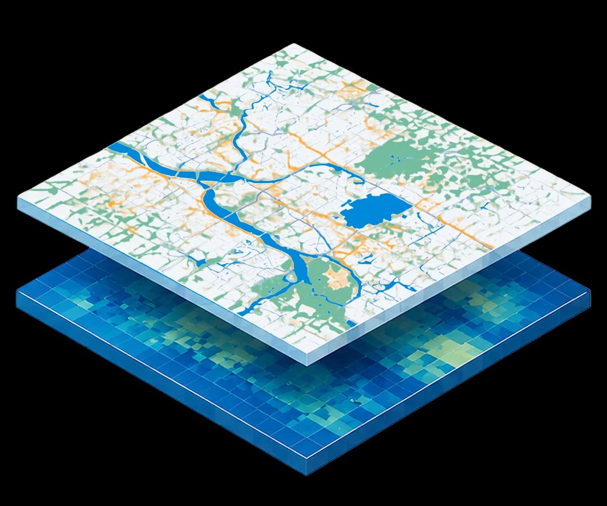
Every layer starts from CoastalDEM®, Climate Central’s coastal digital elevation model, and a sea level projection you choose: the IPCC AR6 leading-consensus model or the more comprehensive but less certain model, an emissions scenario from SSP1-1.9 to SSP5-8.5, and a climate-sensitivity percentile from the 5th to the 95th.
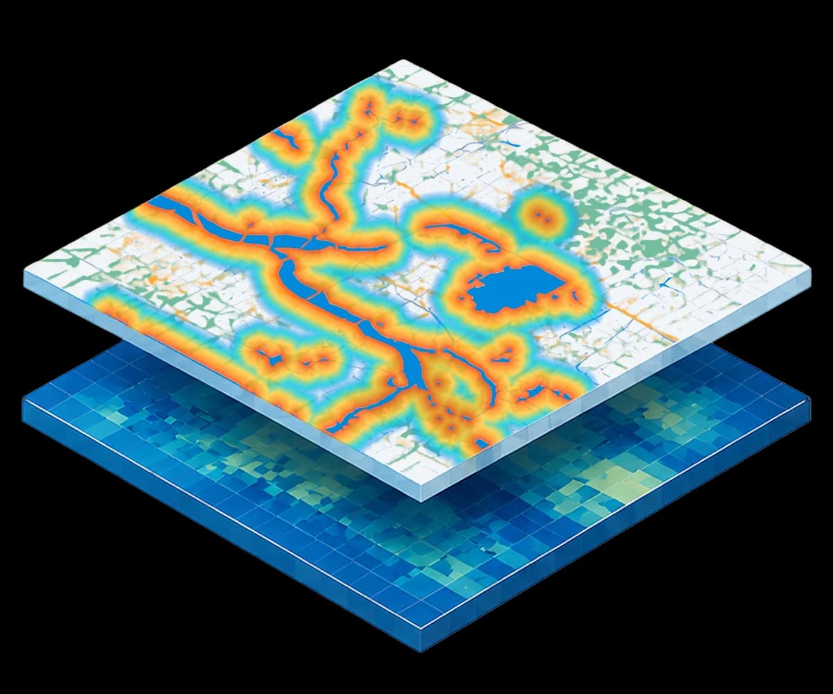
Local water levels for each return period, from the annual flood to the 1-in-1,000-year event, are then mapped against the terrain to produce flood extent and depth layers for any decade from 2020 to 2150.
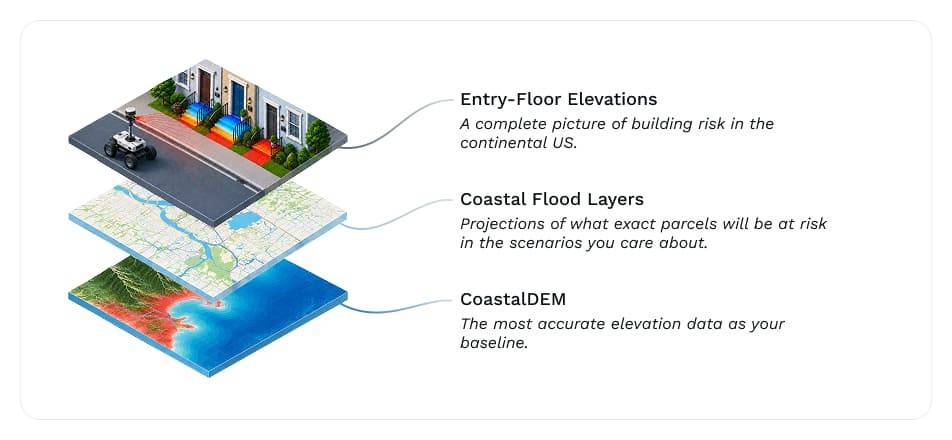
Pair Coastal Flood Layers with your preferred elevation modeling and easily examine the risks to your portfolio, county or other area of interest.
These layers are global and can be used to examine any potential area at risk of flooding or sea level rise impacts.
We have various layers packages ranging from 8 layers to 250 layers. Let us know what you’re thinking and we’ll help you with which packages make sense for your needs.
Our Coastal Flood Layers cover any area that is potentially inundated by sea level rise or coastal flooding.
Yes, we have options for licensing only certain countries for smaller-scale analysis.
Other sea level rise (SLR) projections are by-the-book interpretations of the scenario in question. By allowing full control over the personalization, Climate Central lets you analyze sea level rise and coastal flooding in exactly the scenario you want. You can customize your GIS layers based on year, sea level rise model, emissions scenario, climate sensitivity, and return flood level. This replaces the cookie-cutter sea level rise projections that are commonly used for analysis.
Commercial product
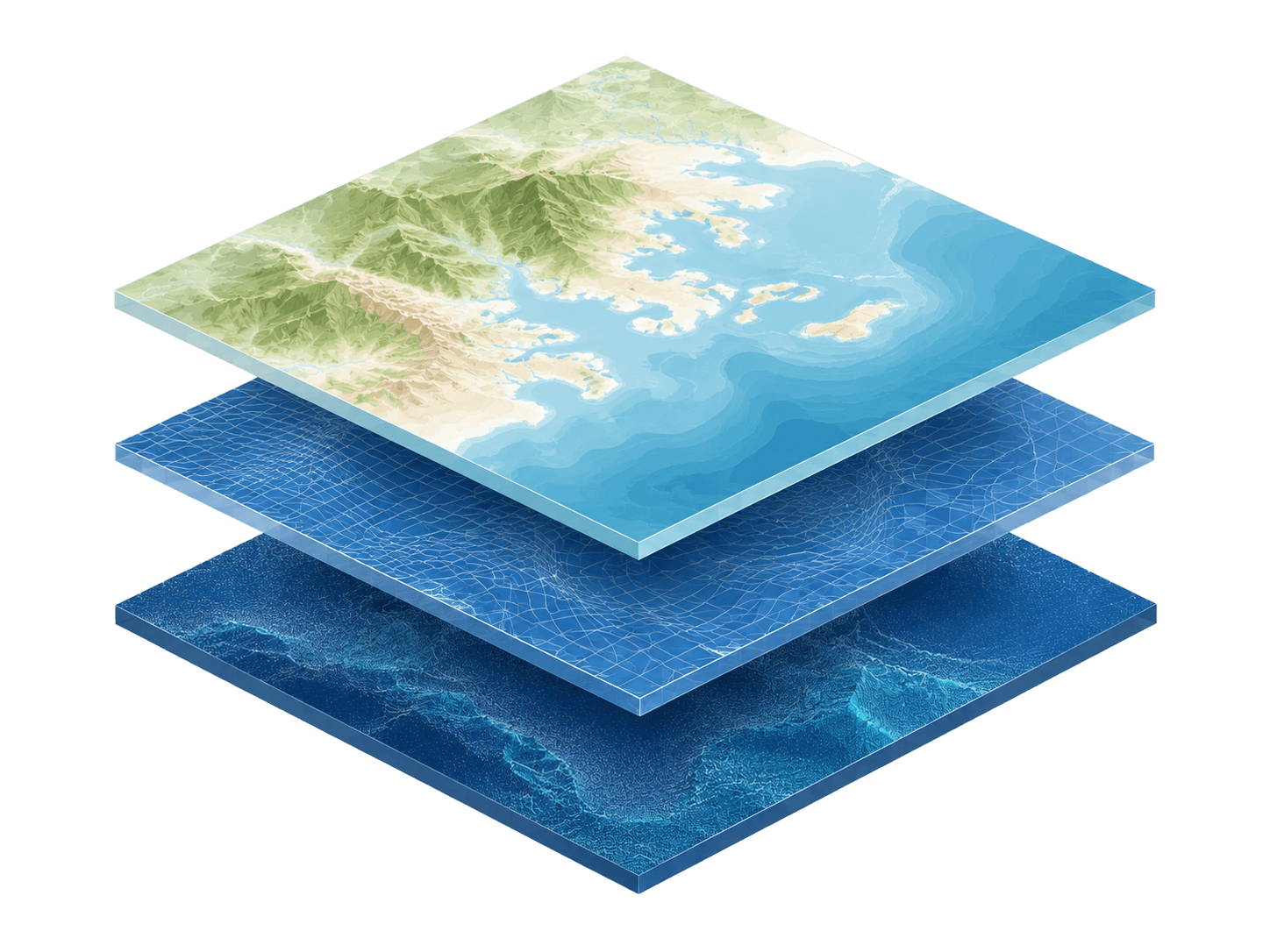
CoastalDEM® is the most precise elevation modeling of the world’s coasts, available at high precision across the globe. Using this as your base-level DEM alongside Coastal Flood Layers offers you the highest accuracy possible.
Explore
Commercial product
EFEs give precise measurements of when floodwater will hit the important parts of a building. Understand how this impacts your portfolio by using alongside CoastalDEM.
Explore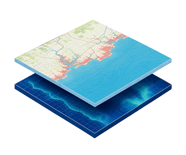
Made possible by donations
Analyze flooding in your area of interest in customizable scenarios through this free online tool. Backed by CoastalDEM elevation data.
ExploreCoastal Flood Layers
Our team can discuss coverage, delivery options and licensing terms for Coastal Flood Layers.
See the Terms of Use for Disclaimers of Warranties and Liability. The use of the materials or information on this page is at your own risk and is provided “AS IS”. Please be further advised that some of the information and data provided herein are derived from a model and a prediction based on estimates, that there are inherent risks in relying on models, and that future data collection and processing technologies may change results.

