FloodVision™
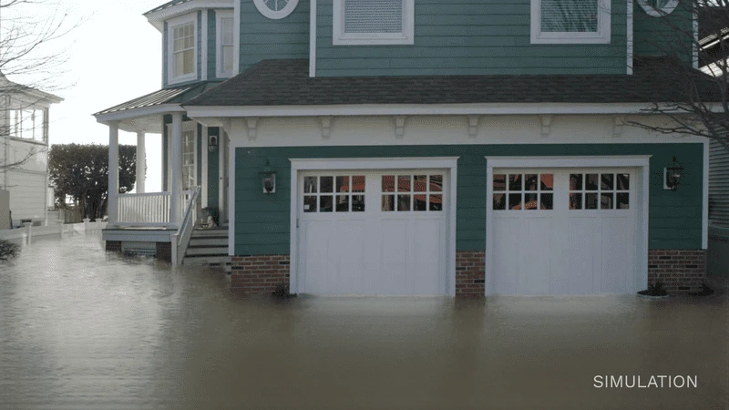
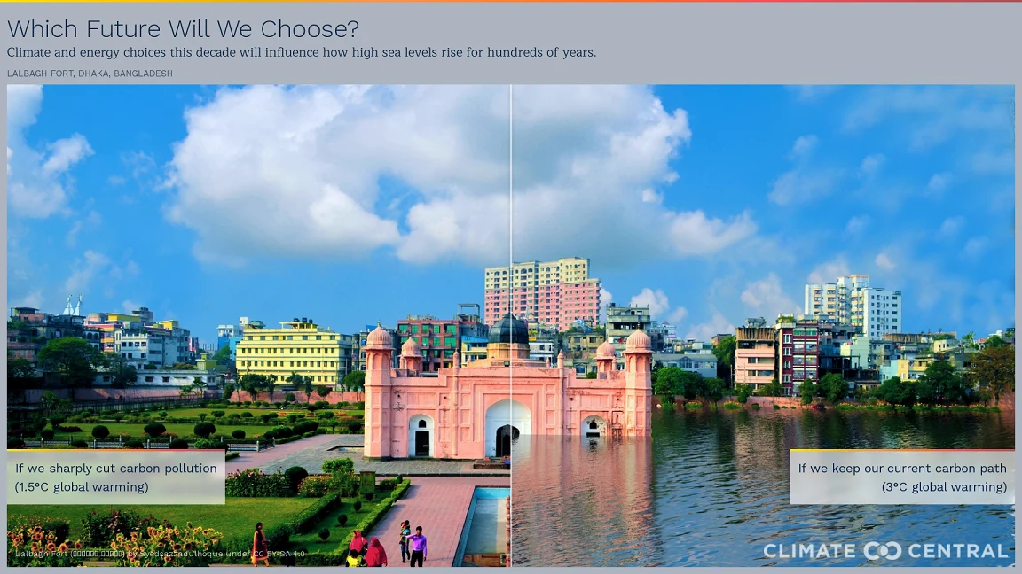
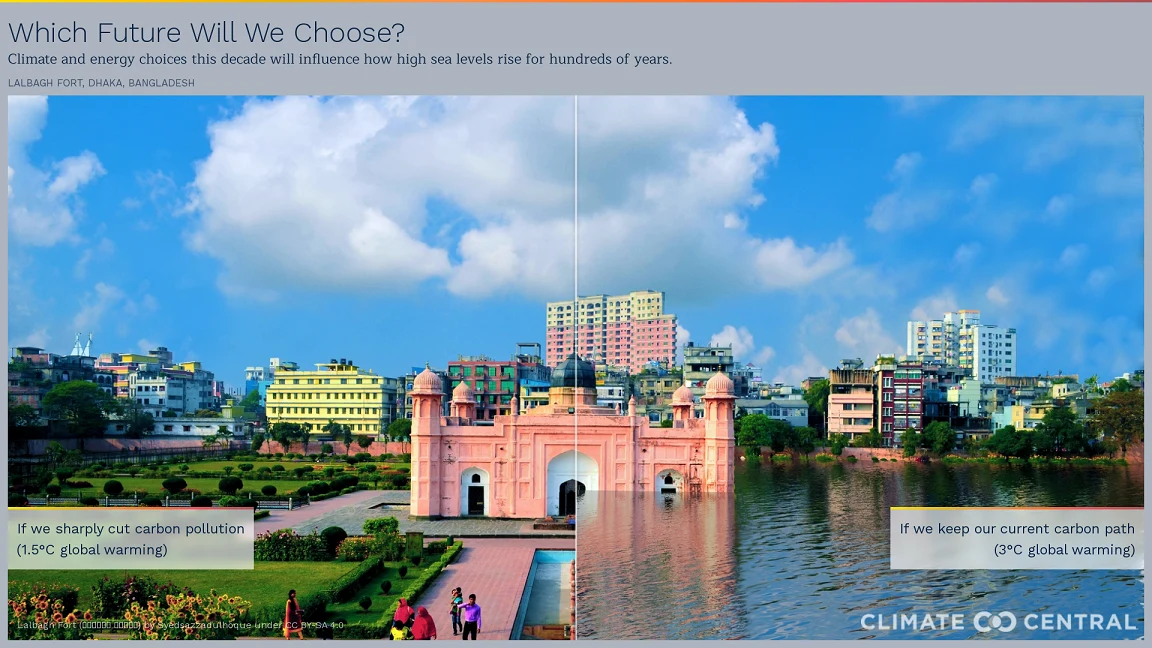
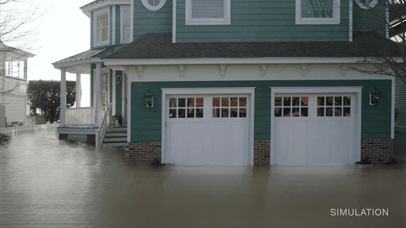
FloodVision™ uses advanced data collection techniques, AI-based algorithms, and intuitive software to produce highly accurate augmented-reality photos of specific locations.
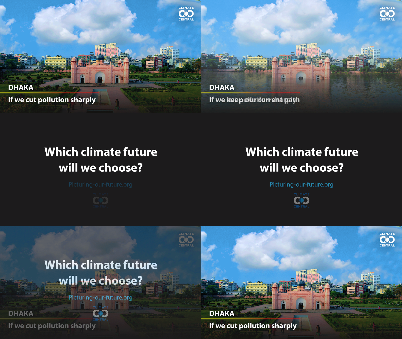
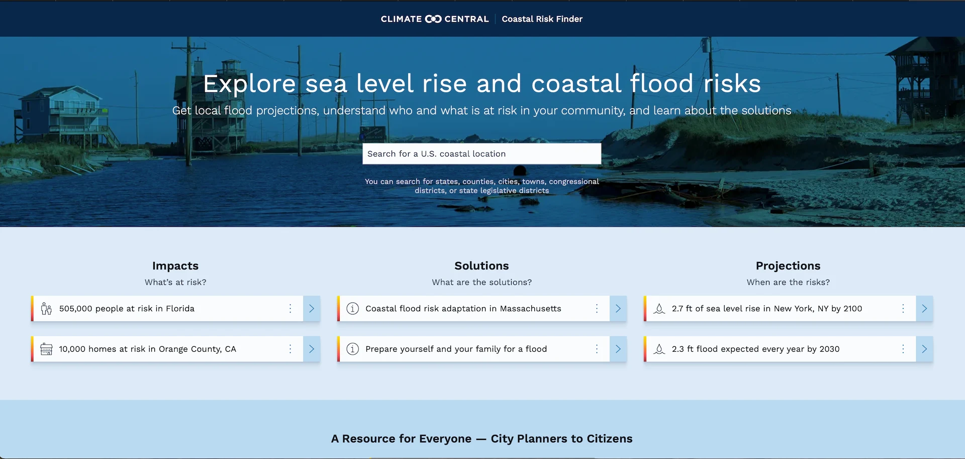
Anchored in rigorous primary research, our work distinguishes itself by its user-friendly maps and tools, extensive datasets, and high-quality visual presentation. The program dedicates its efforts to helping citizens, communities, businesses, organizations, and governments at every level to understand the consequences of different carbon pathways and to navigate the shifting waters of our warming world.
Climate Matters © 2026 by Climate Central is licensed under CC BY 4.0
This license grants permission to use, distribute, and reproduce all text, graphics, and multimedia content published on this page in any medium, provided that Climate Central is credited per the CC BY 4.0 license.
Permission to use data and other materials published on this page is granted for non-commercial uses, commercial news purposes, and educational purposes as governed by Climate Central's Terms of Use.